Tides, Currents and Your Boat: Turning Marine Charts Into Practical Decisions

Understanding tides and currents is an essential part of safe and efficient boating. Whether navigating a shallow inlet, crossing a tidal river, entering a harbor or traveling along the coast, boaters must account for changing water levels and moving water. Marine charts provide valuable information about these conditions, helping operators plan routes, estimate available depths, identify potential hazards and determine the best times to travel from a marina or private boat lift rentals.
Reading a chart, however, involves more than identifying depths and locating navigation markers. Boaters must also understand how tidal predictions, current information and local conditions work together to influence navigation.
Understanding Tidal Information
Tides are the periodic rise and fall of water levels caused primarily by the gravitational forces of the moon and sun. Most coastal locations experience two high tides and two low tides during a lunar day, although some areas have one high and one low tide or mixed tidal patterns.
Marine charts provide information that helps boaters interpret tidal conditions. Charted depths generally reference a designated vertical datum, such as Mean Lower Low Water (MLLW), which is commonly used on U.S. nautical charts. This means the actual water depth may be greater or less than the charted depth depending on the current tide.
For example, if a chart shows a depth of 6 feet and the predicted tide is 2 feet above chart datum, the estimated water depth is approximately 8 feet. Conversely, a negative tide prediction may reduce the available depth below the charted measurement.
Tide tables and electronic chartplotters provide predicted high and low water times and heights. Boaters can use this information to determine whether there will be sufficient clearance when crossing shallow areas, navigating narrow channels, approaching a dock or navigating into private boat slips for rent near me. These predictions are estimates, however, and actual water levels can vary because of wind, atmospheric pressure, freshwater runoff and other weather conditions.
Reading Currents on Marine Charts
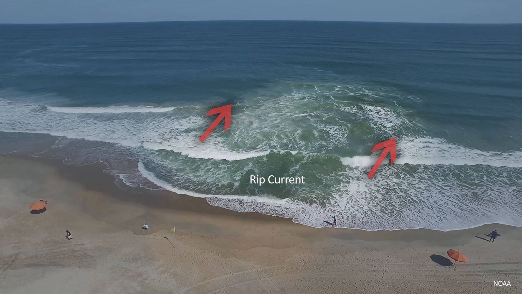
While tides describe changing water levels, currents describe the horizontal movement of water. Tidal currents generally flow toward shore or inland during a flood and seaward during an ebb, although local geography can influence their direction and strength.
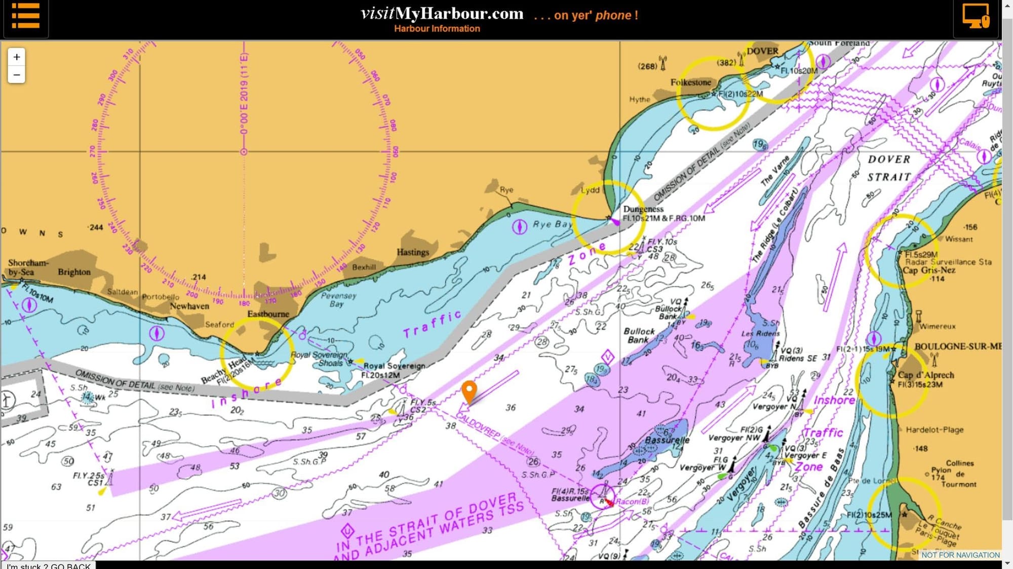
Nautical charts often include current arrows, sometimes called tidal current arrows, with accompanying figures indicating average current speeds in knots. Current tables and tidal current predictions provide additional information about the direction and expected velocity at specific locations and times.
Understanding these details is particularly important when navigating inlets, passes, river mouths, and constricted waterways. A strong outgoing current can create rough conditions where it meets incoming ocean swells, while currents around bridges, points and narrow channels can produce eddies and turbulence.
Boaters should also recognize that slack water, the period when tidal currents are weakest during a change in direction, does not necessarily coincide with high or low tide. The timing can vary considerably by location.
Turning Chart Information Into Navigation Decisions
Once boaters understand the information presented on marine charts, they can apply it to everyday navigation decisions before cruising out from marinas or private boat docks for rent.
- Check available water depth: Compare charted depths with predicted tidal heights before entering shallow channels, crossing sandbars or approaching unfamiliar anchorages. Include the boat's draft and an appropriate under-keel clearance allowance.
- Plan inlet crossings: Review current predictions before navigating narrow inlets or coastal passes. Crossing near slack current may provide more manageable conditions, particularly when strong currents interact with waves.
- Adjust departure times: Use tide and current information to select departure windows that provide favorable conditions. An outgoing current may help a boat traveling seaward, while an incoming current may assist an upstream passage.
- Account for drift: Currents can move a boat away from its intended track, even when the bow appears pointed toward the destination. Allow for set (the direction of current movement) and drift (the speed of that movement) when plotting a course.
- Evaluate anchoring locations: Consider current direction and anticipated changes when selecting an anchorage. A boat may swing around its anchor as the current reverses, requiring sufficient room to avoid nearby vessels, shoals, and obstructions.
Using Multiple Navigation Resources
Paper charts, electronic chartplotters, tide tables and current atlases each provide useful information. Combining these resources gives boaters a more complete picture of local conditions.
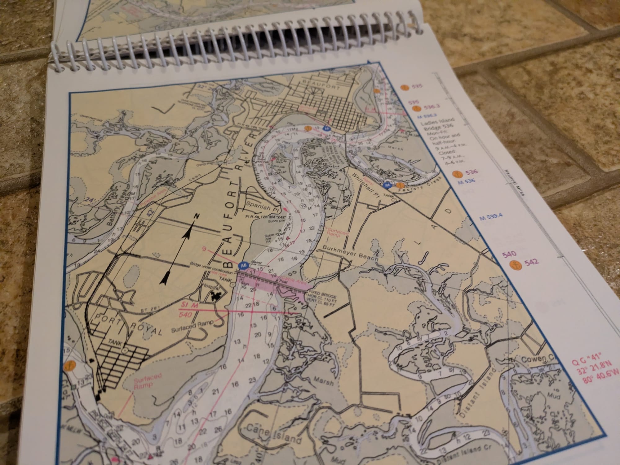
Electronic chartplotters may display predicted tides and currents, depending on the equipment, chart data and available subscriptions. Some systems also provide overlays showing current direction and speed. Paper charts remain valuable as a backup and offer a broad view of surrounding waterways, hazards and navigation aids.
The National Oceanic and Atmospheric Administration (NOAA) provides nautical charts, tide predictions and tidal current predictions for U.S. coastal waters. Its resources allow boaters to research conditions before departure and compare predicted information with observations underway.
Regardless of the equipment used, boaters should verify that charts and electronic navigation data are current. Predictions should also be compared with actual conditions, particularly after storms or periods of unusual weather.